Vegetation surface roughness quantification and relationships with flow attenuation over intertidal surfaces
My PhD project aims to improve our understanding and quantification of wave and tidal flow reduction caused by saltmarsh vegetation. Previous studies have shown that intertidal saltmarsh vegetation can significantly reduce tidal currents as well as wave height and energy even under extreme storm-surge conditions. With rising sea levels and increased frequency of storm events predicted over the coming century, there is growing interest in utilising saltmarsh vegetation as a form of natural sea-defence.
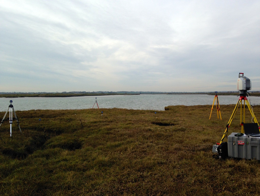
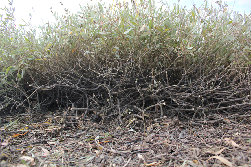
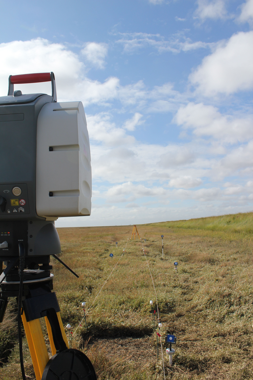
A major part of my PhD involves quantifying the complex shape and architecture of saltmarsh canopies. Currently this is done using intensive, small scale (<1m) and sometimes subjective measurements which are time consuming and may not accurately portray other vegetation at the marsh scale (100s metres). I’m attempting to overcome this problem through the use of high resolution (mm) laser imagery which can obtain small scale features of the saltmarsh canopy across relatively large areas (10s – 100s metres).
The second part of my PhD aims to improve our understanding of how vegetation structure influences tidal currents and wave attenuation. Currently numerical models which attempt to predict the effect of saltmarsh vegetation operate with limited accuracy as vegetation is represented using a simple array of rigid vertical cylinders. Although this simplified representation is convenient, in reality it is a poor representation of vegetated canopies which typically exhibit a high degree of structural complexity that vary across time and space.
Using real saltmarsh plants in a series controlled laboratory flume experiments in conjunction with high-resolution laser scans, we will identify relationships between plant structure and flow retardation. If these relationships can be quantified it will generate a more realistic and site specific assessment of hydraulically relevant vegetation structures. This data could then be fed into numerical models and potentially deliver more accurate predictions of flood risk and used as an important tool in the future management our coastline.